
Esri Data Layers
These innovative layers are meticulously designed to equip Esri ArcGIS users with detailed, actionable mobile network performance insights for their geospatial projects
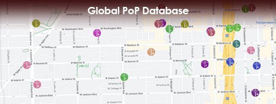
Our sophisticated AI algorithms have predicted the location of the macro tower, rooftop, monopole, small call and DAS cell sites upon which these antennas reside, in over 200 countries.
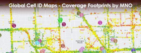
Our data layers for Cell ID and eNodeB coverage footprints for each MNO span 200+ countries. These are available in CSV format, and offer seven bin sizes (20m to 11km) detailing coverage areas and band frequencies.
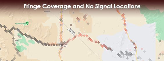
Unearth the true state of mobile network coverage across the globe with this in-depth data layer that illuminates areas with either fringe network coverage or a complete lack of signal.
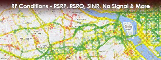
From RSRP to SINR to No Signal scenarios, these layers offer the granular RF conditions you need to make informed decisions.